Toronto Maps and Orientation
(Toronto, Ontario - ON, Canada)
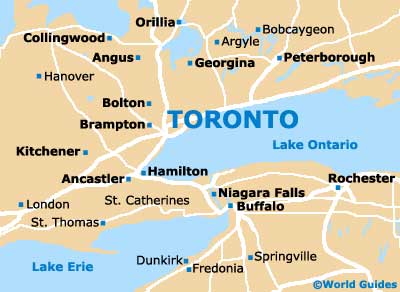
With a population of more than two and a half million, the city of Toronto is the most densely populated of all the cities within Canada. Toronto is the capital of the Ontario province and lies on the southerly side of this province, alongside the northwesterly shoreline of Lake Ontario.
The city of Toronto is located within the very center of the spreading Greater Toronto Area, which is often known simply as GTA and also encompasses the municipalities of Durham, Halton, Peel and York. The city's waterfront is especially impressive and stretches for almost 30 miles / 48 km.
Maps and Orientation of the City
Downtown Toronto's architecture is quite breathtaking, being full of modern high-rise skyscrapers, and quickly changes character when illuminated at night. The CN Tower, the First Canadian Place, the Scotia Tower and the TD Canada Trust Tower are just a few of the many landmarks that make up this city's distinctive, glitzy skyline.
Toronto is a vast city and so if you are planning to drive yourself around, then maps are advisable. Maps can be obtained by heading to the visitors centers on Front Street, Queens Quay and also Yonge Street.
Map of Canada

Map of Ontario

Map of Toronto